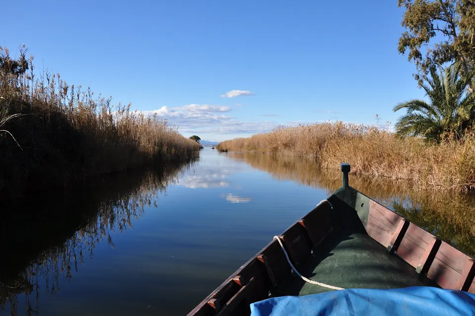
What to see in the Turia Garden? For starters, the resounding absence of a river. It sounds absurd, but the monumental architecture of the Turia Garden rests, literally, on a void. After the tragic flood of 1957, Valencia banished the watercourse to the south and was left with an immense scar crossed by 18 bridges. Today you walk on grass where decades ago there were unpredictable currents, in a green corridor of almost 9 kilometers that completely redefines the geography of the city.
The secret history of the place is not exactly an urban fairy tale. If the authorities had executed their plans, today you would not be planning a walk among pines, but dodging trucks. This space is the result of the pulse between a government that saw a business opportunity and a city that demanded oxygen. Understanding this garden is understanding how a marginal and unhealthy land dodged its condemnation to become a highway junction.
Highlights
- About 130 hectares of park on the bed of a ghost river.
- 18 bridges whose bases now rest on dry land.
- The echo of the 1976 citizen revolt against the highway plan.
- Gulliver Park: 70 meters of surreal and playful architecture.
Discover the full story
Listen to the full audio guide for this point and many more in our free app.
Thinking of a park usually evokes a harmless design, an urban ornament with no more conflict than deciding where to plant a tree. The Turia Garden breaks that rule. With its almost 9 kilometers and about 130 hectares, it is one of the largest urban parks in Spain, but its scale is not the most fascinating thing. What is truly revealing is its nature as a scar. It was born from a traumatic natural disaster in the 50s and survived a threat of bureaucratic asphalt in the 60s and 70s. What today seems like a serene oasis was, in reality, a political and social battlefield. To understand the magnitude of what you have under your feet, it is not enough to look at the botany; you have to listen to the memory of the mud that originated it.
Where the Turia turned into mud
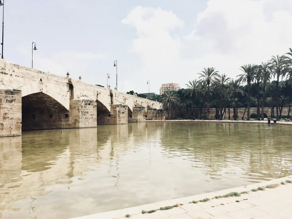
Serranos Bridge
It is strange to observe the imposing ashlar retaining walls of the 17th and 18th centuries designed to channel the fury of the water, now reduced to delimiting lawn areas. However, in the early hours of October 14, 1957, this solid stone engineering was useless. The Great Flood overflowed the channel, leaving dozens dead and a drowned city.
Popular memory still preserves the terror of the ‘cap de la riuada’, a wall of water and mud that descended with a deafening noise, similar to a thousand trains running. It was this violent episode that forced the government decision to divert the channel to the south.
What happens when you surgically remove the liquid heart of a city and leave an empty gash in its center? The abandonment and silence did not last long. On your on-site visit, the audio guide will reveal the details of that critical dawn and how the trauma shaped the land you walk on today.
The highway that Valencia stopped
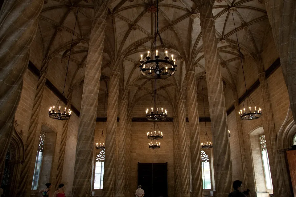
Palau de la Música de València
Faced with the ordered geometry and the classic air that Ricardo Bofill imprinted on this stretch of the park in the 1980s, it is easy to assume that the State always wanted to gift an orchard to the citizens. False. In 1966, the official plan of the Franco regime was to convert the dry bed into a profitable network of highways and traffic links to connect the port with the airport.
The asphalt seemed inevitable until the street said enough. A citizen movement stood up with a clear motto: “El riu és nostre i el volem verd” (The river is ours and we want it green). Their pressure was so frontal that, against all bureaucratic odds, they managed to get King Juan Carlos I to cede the land to the city for exclusively public use in 1976.
The first green stretch was inaugurated in 1986, but the tension between the aspirations of the street and the decisions of the offices left design scars. Play this audio clip in front of the Palau de la Música to discover how the Valencians sabotaged the ministry’s plans and saved the city from smoke.
A giant tied to the sand
Gulliver Park
Suddenly, the romantic landscape breaks and a colossal and anomalous structure emerges. Inaugurated in 1990 and designed by architect Rafael Rivera together with Fallas artist Manolo Martín, Gulliver Park is a monumental 70-meter-long sculpture riddled with ramps and slides.
However, cities rarely buy institutional narratives without modifying them. For years, the huge reclining figure has gradually lost part of its original colouring due to the sun and constant use by generations of children.
Why plant such a playful madness in the middle of an empty riverbed? There is a brilliant disconnection between the formality of the previous stretches and this visual extravagance. The explanation for this eccentricity awaits you in our narration at the foot of the park.
The white lime horizon
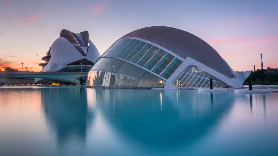
City of Arts and Sciences
It is difficult to reconcile the image of this last stretch with its documented past. Before the flood, and during the years following the desiccation, this area was a deeply marginal space. An unhealthy corner used for dumping, populated by extreme poverty barracks, and serving as an improvised dirt football field.
Today, that misery has been erased by concrete, steel, and glass. Designed by Santiago Calatrava in 1991, the surroundings of the City of Arts and Sciences mark the point where the old riverbed met the sea.
The contrast is absolute: from marginality to aseptic futurism. The river is gone, but it left an immense canvas on which Valencia has projected both its most bombastic ambitions and its aesthetic obsessions. Reach the end of the riverbed, hit play, and listen to the verdict on the controversial price of this dazzling modernity.